Land management
A unique, adapted solution
CORALIS Foncier combines a historical database, GIS-type mapping functions and particularly fast 3D calculation capabilities. It's a comprehensive tool that's particularly well-suited to managing land ownership for companies operating over a large geographical area.
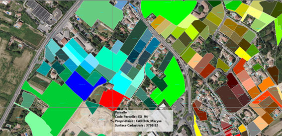
A close relationship with the cadastral map
The import function enables you to obtain an up-to-date cadastral map in just a few clicks. You can quickly locate the parcel or group of parcels that is the subject of a transaction or calculation.
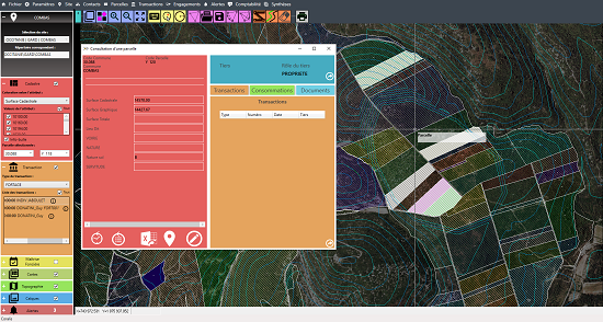
Transaction management
The software enables you to enter all transactions concerning your land management: purchase/sale, leases (building, hunting), farming, drilling contracts, administrative authorizations. Each transaction is provided with a schedule for managing royalties to be paid or rents to be collected.
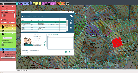
Database of documents, summaries and land parcel alerts
CORALIS Land includes a document database function that allows you to associate digital documents with all levels of your files: parcel, contact or transaction. The alerts system alerts the user to forthcoming land-related events.
FEEDBACK
"Our focus is on simplicity of daily use. This simplicity, combined with
the speed with which our software delivers results, will make your business more agile.
Decision support will enable you to plan your site development more efficiently, and optimize
your operating costs"
Guy DONATINI & Karim FEDAOUI
CORALIS Management