Design
Rapid Topography Modeling
Easily import data from common sourves such as drones, LiDAR, and DXF files..
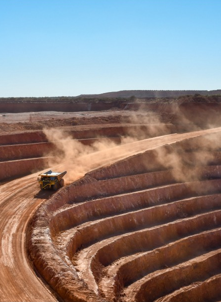
Whether it's a mine, a massive rock quarry, an alluvial deposit , or a residue storage site, Design ensures significant time savings and secures the development of your operation.
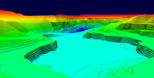
3D Measurement and Analysis
In-depth analysis of your sites in terms of planimetry, cross-sections, and 3D views. Eiforous and immediate volume calculations.
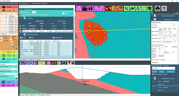
Effortless Operational Design
Simplify operational planning with functions for creating extraction and backfill zones. The track design interface allows for precise and straightforward design. Results are instantly visualized in 3D.
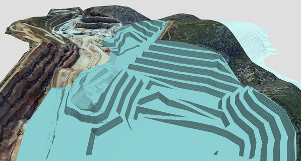
Cost Optimization
With CORALIS Design, you’ll have a tool that informs your decision-making process. Quickly simulate site development to optimize operational costs.
FEEDBACK
"Our focus is on simplicity of daily use. This simplicity, combined with
the speed with which our software delivers results, will make your business more agile.
Decision support will enable you to plan your site development more efficiently, and optimize
your operating costs"
Guy DONATINI & Karim FEDAOUI
CORALIS Management